


Media Release: Drone inspections for Ballarat power network
6 July, 2021
Powercor has used the Ballarat region as a testbed for new drone technology to inspect powerlines faster and in greater detail than ever before, in flights over areas to the city’s south.
Remotely piloted drones have inspected more than 30 kilometres of powerlines around Ross Creek, Cambrian Hill, Napoleons, and parts of Buninyong in recent weeks.
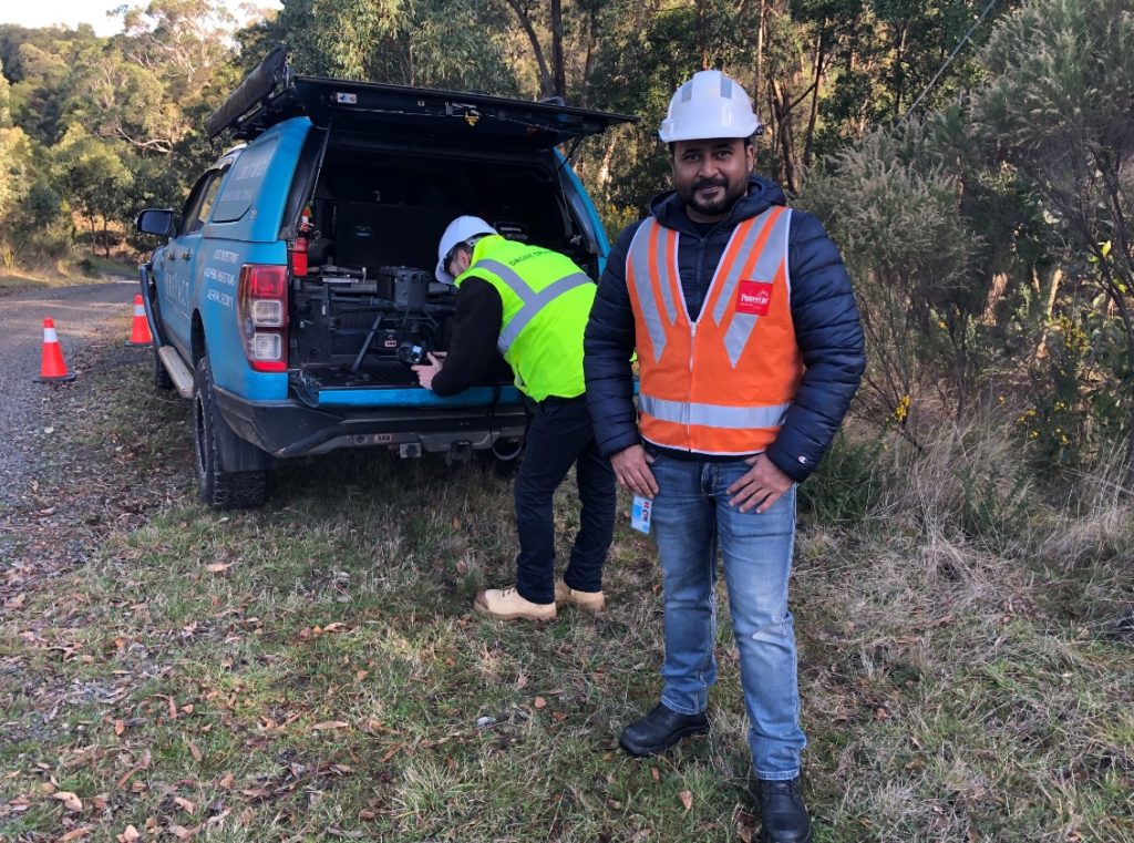
ON SITE: Program Manger Zesh Ahmer at the site of the trial south of Ballarat.
The work is in addition to Powercor’s ongoing continuous program of asset inspections, which are also being conducted by crews in vehicles, on foot and by helicopter.
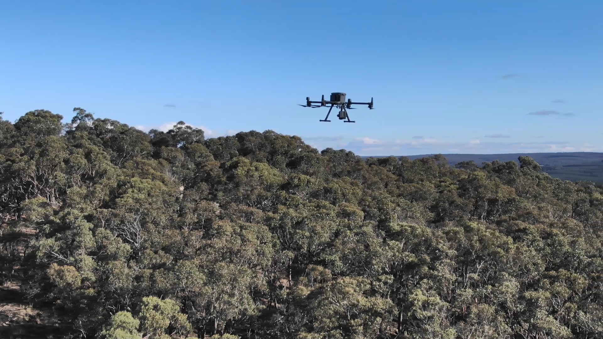
A specialist team is trialling the Matrice 300 RTK – a powerful industrial drone platform with an advanced flight controller system, six-directional sensing, real-time video transmission, thermal imaging and obstacle-detection systems.
This trial follows a trial of a similar technology in the Otways last September, with results from the new Ballarat trial to inform whether the technology is suitable for inclusion in Powercor’s continuous inspection program.
Powercor Head of Network Asset Management John Mifsud said the drone inspections had covered a large area, quickly,
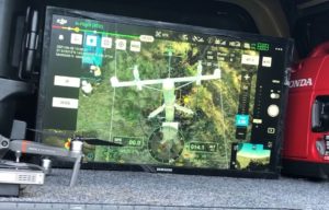 with high definition cameras used to capture the condition of powerlines quickly and easily.
Mr Mifsud said the area south of Ballarat was chosen due to its topography and environmental factors, as well as network characteristics that make the location a good trial site.
The drone trials also compliment extensive foot patrols in the area earlier this year, following reliability issues over summer for customers south of Ballarat.
“This trial is about finding new ways to keep our network operating safely and reliably,” Mr Mifsud
said.
“While these drones won’t replace our existing inspection methods, we’re looking at whether they have a permanent role in our program in the future.”
Powercor manages its network of almost 90,000km of powerline and 588,000 poles through a rigorous inspection and maintenance program, on top of a network-wide vegetation management program clearing trees and shrubs well away from powerlines.
Drone fast facts
- Model: Matrice 300 RTK
- Dimensions: 810×670×430 mm (L×W×H)
- Weight: Approx. 3.6 kg (without batteries) and 6.3kg (with two TB60 batteries)
- Max Speed: 83km/h
- Average operation speed: 3km/h
- Max Ascent Speed: 6 m/s
- Max Descent Speed (vertical): 5 m/s
- Max height of operation: 5000 m
- Operational height above powerlines: 4 m
- Max Flight Time: 55 min


